Eastern Grey Limited
North Carolina Topographic Map No.1
North Carolina Topographic Map No.1
Couldn't load pickup availability
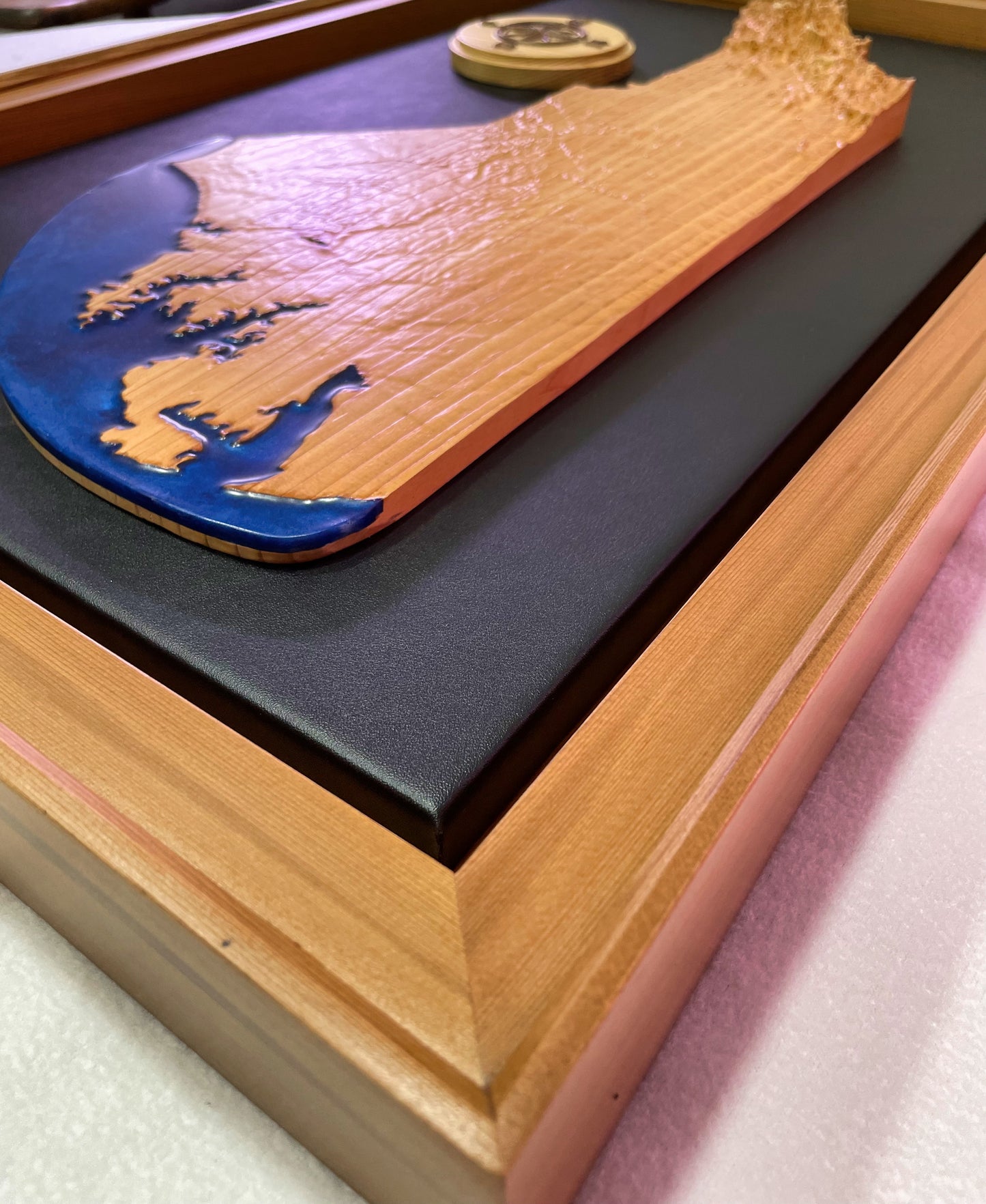
A solid block of Western Red Cedar is transformed into this highly detailed topographic map. Elevation and surface details are taken from satellite and geological surveys, then reproduced down to .5mm in detail. The tips of the highest mountains are capped in maple to subtlety suggest snow cap peaks. A coastline melds into a faux ocean comprised of blue azure mica resin buffed to a lustrous sheen.
Finished with 5 coats of water based lacquer and paired with a Cedar and Black Walnut compass rose. The pair is mounted on a vegan leather covered backing and secured into a gallery frame. The frame is Western Red Cedar which accentuates the shadow gap to the deep black of the vegan leather.
The back is fitted with a dust cover and wire hanger for immediate display.
This is Number 1 and will include a carved panel on the back with this certification as well as the artists signature.
Total dimensions are 28 1/2" long x 18" tall x 2" thick (thickest portion of frame)
Overall weight is 9 lbs, so please keep this in mind when mounting for display.
Share
Materials
Materials
Western Red Cedar, Black Walnut (compass highlights), vegan leather
Dimensions
Dimensions
28.5" x 17.875" x 2" 9lbs
Care information
Care information


Subscribe to our emails
Subscribe to our mailing list for insider news, product launches, and more.


